
Biodiversity Risk Assessments
Jennifer Mandel, Shawn Brown and Leigh Bordman, Biological Sciences
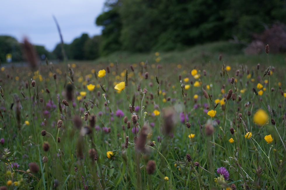
Most local-level biodiversity risk assessments are costly and time-intensive. This limits their application and affects adoption of conservation practices that can improve biodiversity. In collaboration with a corporate partner, ACRE developed a novel approach to mapping local-level biodiversity remotely by using resources like Global Biodiversity Information Facility, Early Detection and Distribution Mapping System, USGS Nonindigenous Aquatic Species database, and NatureServe. This method of biodiversity informatics provides a cost-effective, in-depth preliminary analysis of biodiversity interactions on a field or facility by quantifying species diversity, habitat potential, and associated risks to biodiversity and opportunities to protection. The biodiversity risk assessment can help users identify and prioritize areas for conservation action plans that preserve and restore local area biological diversity, soil health, and ecosystem resilience, and reduce downstream business and financial risks in the supply chain.